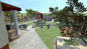
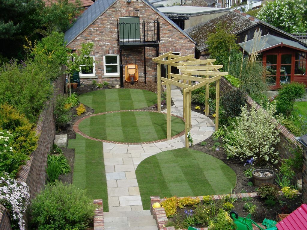
Vertical layout of the site: subtleties and features

Arranging the area around the house (country or just private), you need to carefully consider not only the location of the individual elements horizontally, but also the vertical ratio of them. Moreover, even the house itself should be thoroughly thought out, figuring out what should be the height of the basement, first floor, second (if necessary).
Special features
Properly “plant” a house and plan the territory can be, if:
- place pits, trenches, capital foundations and bulk pillows above groundwater;
- organize the withdrawal of rainfall and floods beyond the borders of land tenure to a safe distance;
- raise walls and even a plinth above the level of snow cover so that they are minimally moistened in winter and early spring.

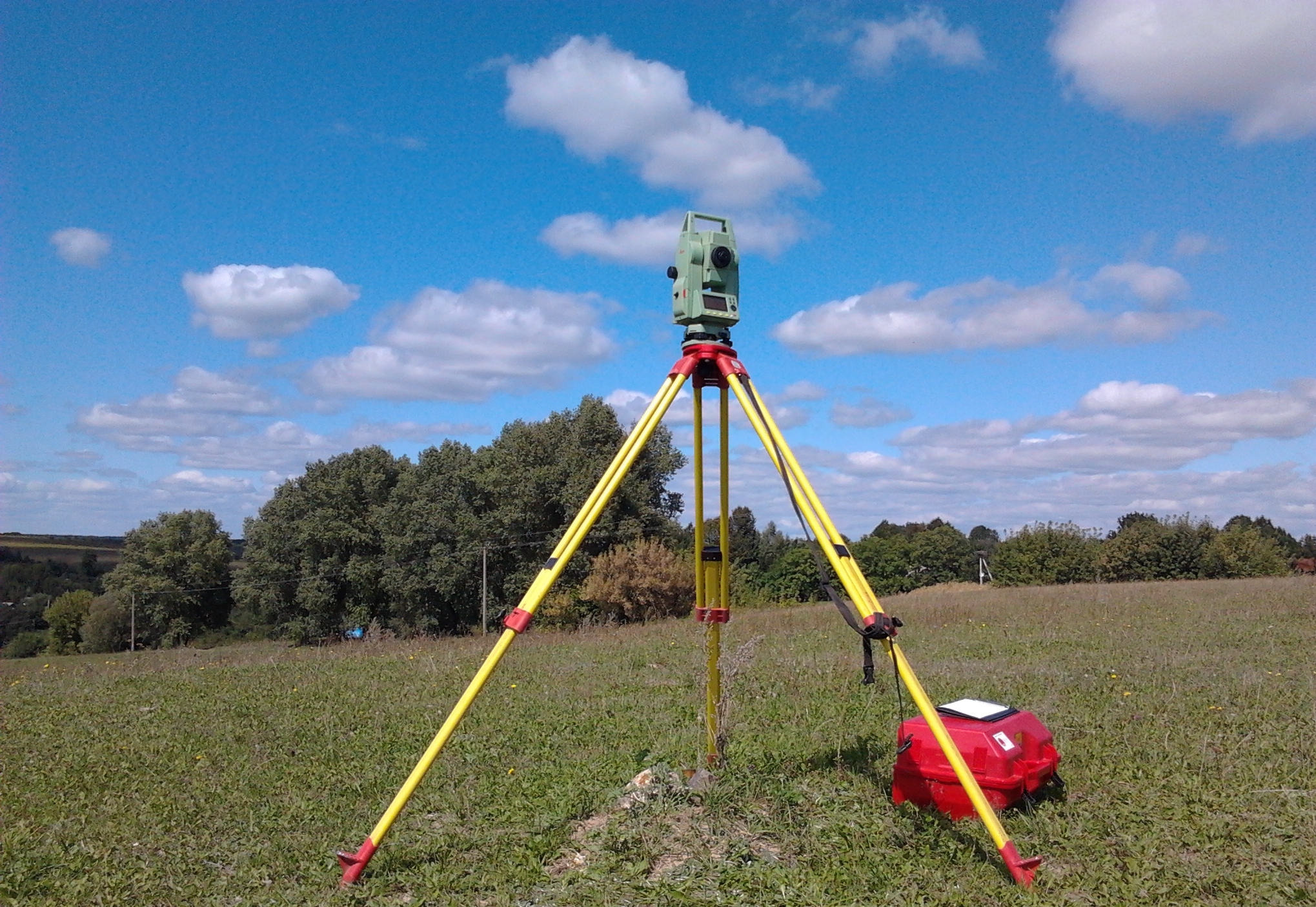
Vertical layout of the site begins with a geodetic survey of the entire territory. In some cases, it can be replaced by the definition of a real height difference.It is certainly estimated how high the groundwater is, how much the soil swells under the action of frost.
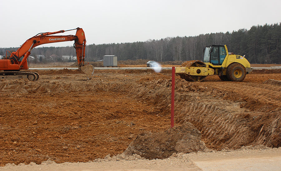
Most often, construction sites increase, filling them completely with an additional layer of soil or creating a local mound.
To the foundation was higher than groundwater, it is worth using options without burial or with minimal burial.
But if this requirement contradicts other technical issues (for example, it is necessary to build a very heavy house, or the top layer of soil is prone to movement), you will have to find a compromise and turn to professionals.

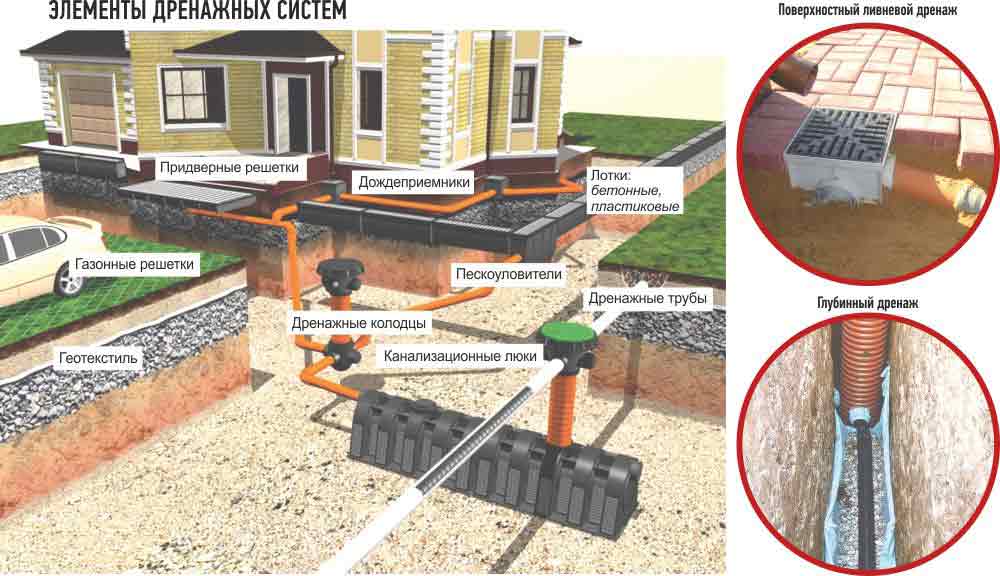
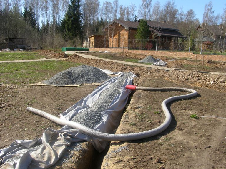
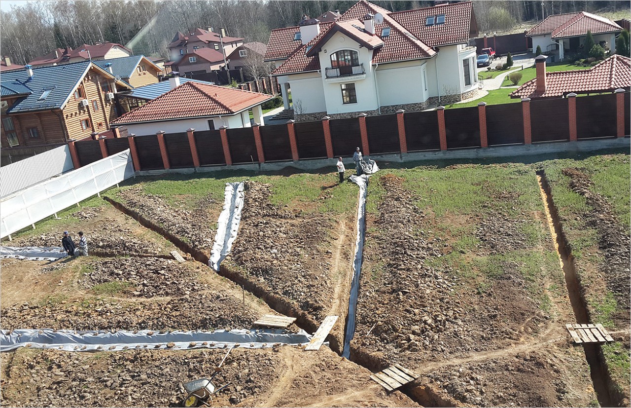
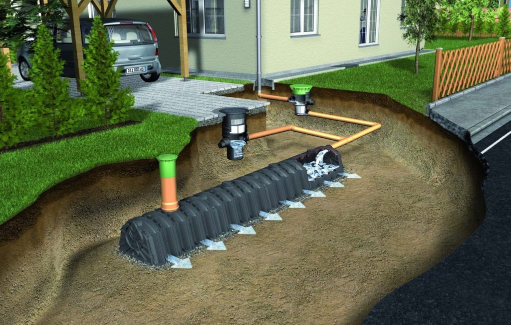
Next, you need to perform a blind area, to establish trays for the distillation of surface waters. Thinking out the relief, you can take precipitation and melt water to the side. And the effective control of groundwater is carried out with the help of deep drainage.
Practical recommendations
You are unlikely to conduct a geodesic survey yourself; you will need the help of specialists. But it is possible to determine the elevation differences in general at the construction site and in the corners of the future foundation independently. It is possible to use not only levels, but also laser or hydraulic levels.
Always seek from performers that the project contains accurate information about the type of soil and its suitability for construction., about the level of groundwater and the severity of the frosty rise of the earth. Based on all these data, it is concluded how strongly the surface is deviated from the ideal horizontal.
Regardless of how big the slope is, you should use the embankment, because it helps to increase the permissible load created by the house and outbuildings.
The construction of buildings above the embankments is attractive and the reduction of freezing layers, reducing the negative impact of soil movements on the foundation under the influence of cold. At the same time, evacuation of rain and melt water from the construction site is improved, all the necessary work can be performed in the most dry conditions.
In the ideal case, all the land that was taken out at the initial stage of construction is used on site, and there is no need to take it somewhere, to look for alternative methods of application.

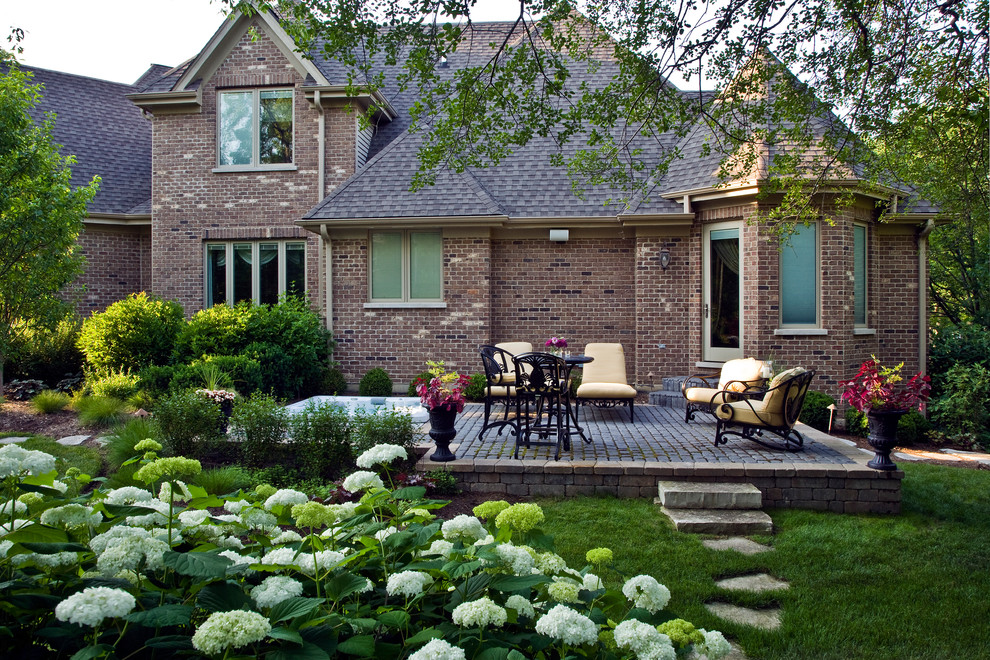
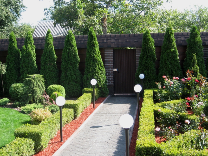
Flat plot
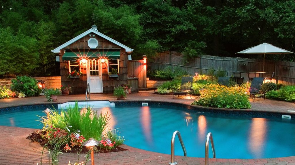
Vertical planning of the land plot in this case is especially important.As practice shows, the smoothest areas are located in lowlands, and because of the high level of groundwater and the constant accumulation of effluent, they quickly become swamped.
The exit from the situation is a low mound - 20-50 cm, to create which you can apply all the soils without organic particles. Be sure to form a pillow of sand and gravel, compacting it in layers.
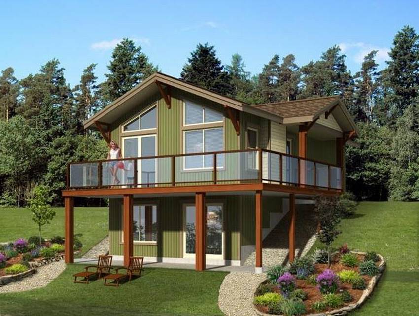
Plot with slope
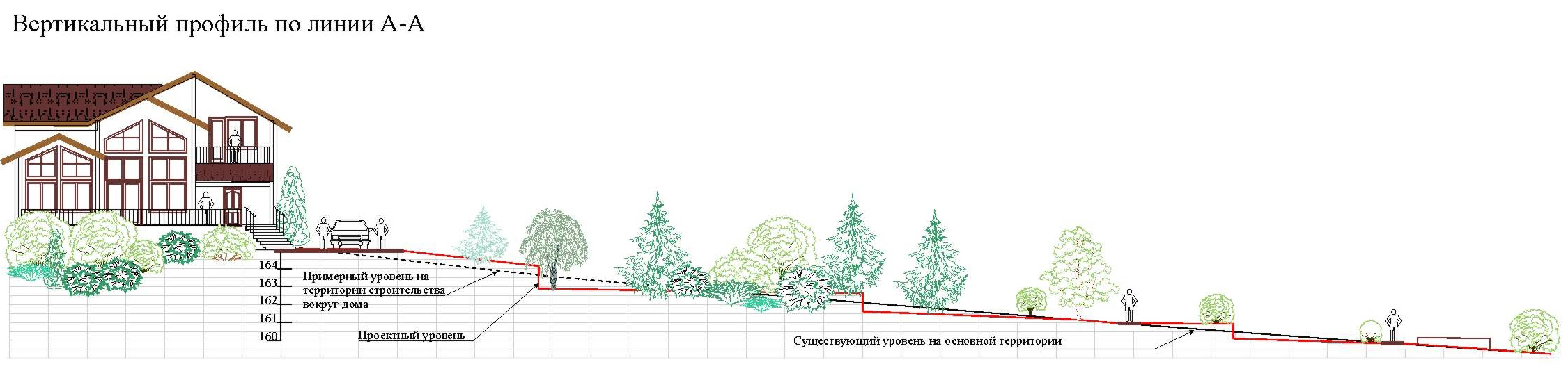
When the height difference within the limits of the future foundation is no more than 100 cm, it is advisable to make dumpings for alignment, while the soles of all base parts should be on the same line horizontally with a slight deviation.
If the slope value is less than 0.41 m, the entire site should be leveled to a horizontal level, with the above-ground share of the pedestals being strictly at the same height throughout its length.
Important: the most economical and materially, and in terms of labor costs, to create external embankments only after the foundation is ready to work.
When the natural soil has a height difference of over 40, but less than 100 cm, it is not necessary to pour new portions of the earth into the horizon. Where better to limit the artificial reduction of these irregularities.
For example, on the lower part of the slope, a tape-type foundation is formed, and the sole is raised above the natural ground with the help of an embankment. On the elevated part of the slopes a trench is being dug, where the pillow is poured at a strictly identical level. Find out the necessary parameters will help accurate calculation.

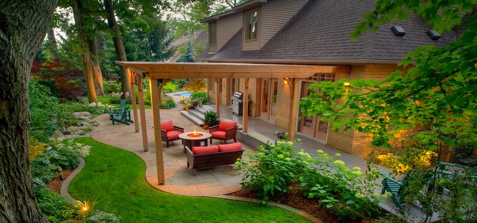
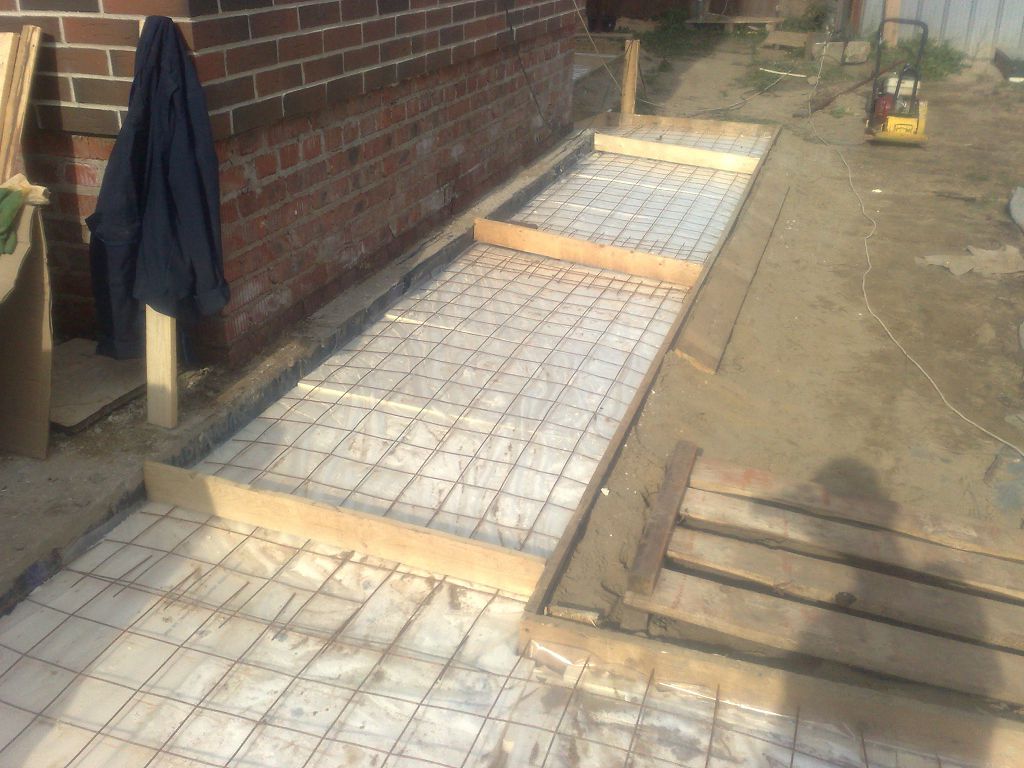
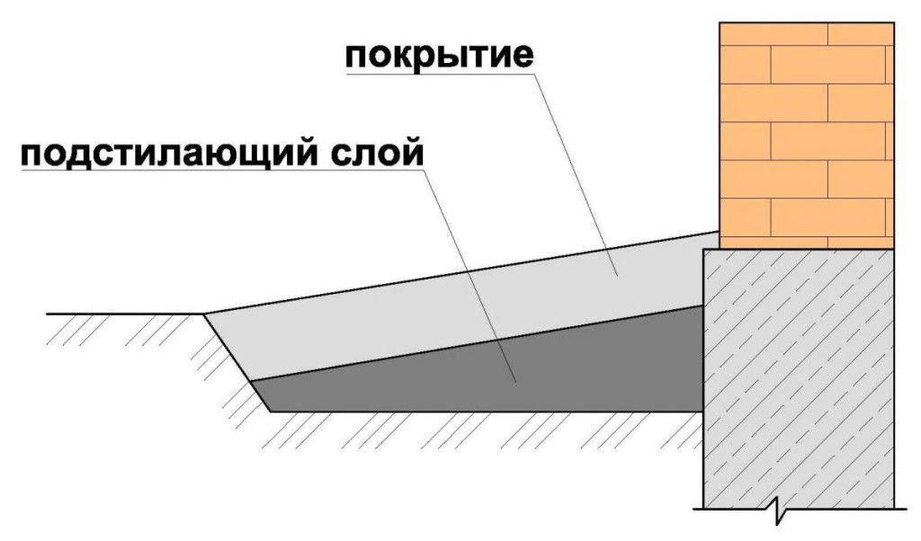
Blind area
The blind area is the best way to remove water both from the walls of the house and from the site as a whole, directing it to the surface drainage complex. The minimum ground bedding for creating a blind area cannot be less than 10 cm. Designers should take into account that due to the daily activities of people, the ground will begin to rise, and the entire planned operation time of the blind area must exceed the surrounding territory.
The minimum width of the coating is 80 cm, while it is necessary to block the sinuses of the pits and trenches, using permeable to water soil (sand). Suitable material for the top layer is solid concrete, and slope in the direction of the basement necessarily on 1 m of the blind area in width is 50 mm or more.
This design can also be created on top of the heaving soil, but then it is required to move from a continuous ribbon to sections 150–250 cm in length in order to extinguish the likely uneven soil movements.
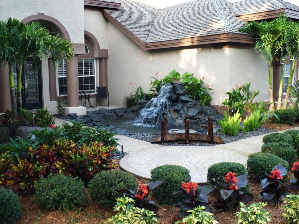
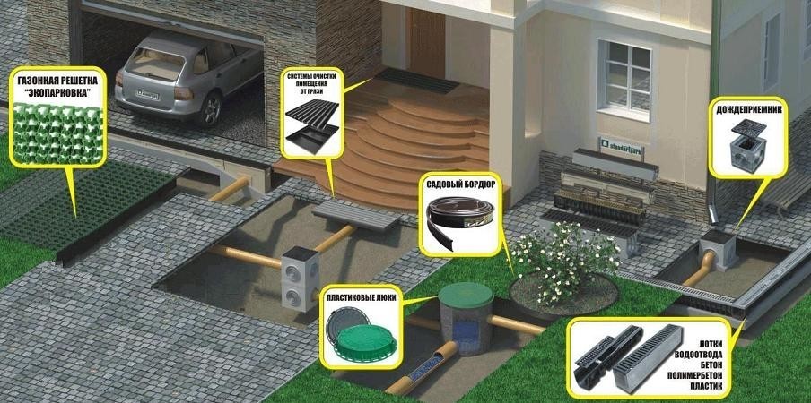
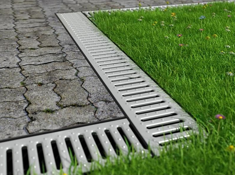
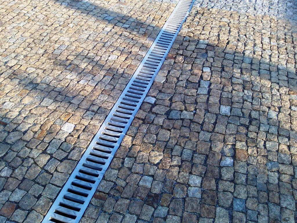
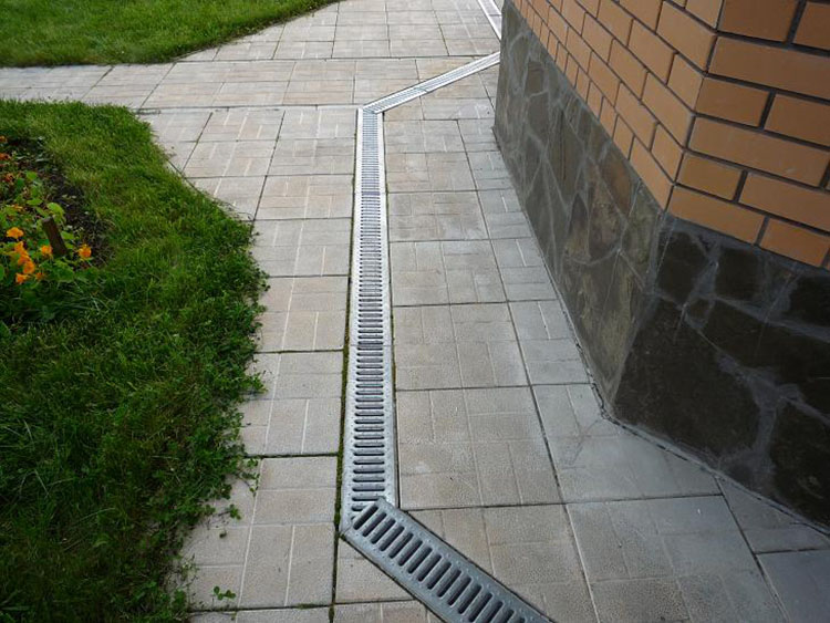
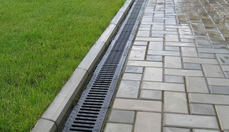
Drainage
Along the contours of the blind area, starting with the upland share of the building, put the tray. These trays are capable of directing precipitations from roofs in the right direction, if they are supplied from other sides of the building. It is easy to prevent the problems created by the upper layer: it will be necessary to lay a pipe that crosses the slope across it so that it is lower than the bottom of the base.
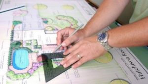
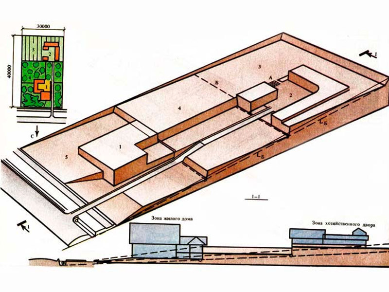
Vertical layout
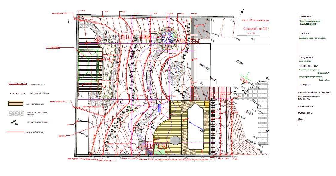
But all this is purely practical recommendations, but you still need to figure out how to make a vertical layout of the site, so that the builders understand it. Suppose you want to monitor the execution of the work or understand whether the designers have done everything correctly. On the geologic base, marks are placed showing the location of individual objects, and the design surface is determined with the help of red lines.
Horizontals project on the plane straight lines formed by the intersection of the base with other planes, the pitch is from 10 to 50 cm, depending on the scale, conditions and complexity of the arrangement.
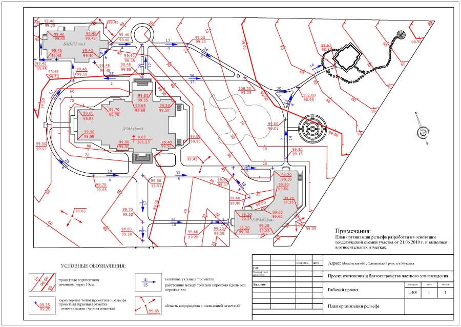
Important: you should not break the horizontal lines, they should go through the whole plan, and at the same time the section also remains unchanged.
If the ground is poured somewhere, the red lines are removed, denoting a lowering, and if in a certain place it is planned to be dug, an increase is shown in the diagram.The only admissible case of a broken contour is the connection of design surfaces with slopes or walls (fences).
Unchanged throughout the slope is shown the same distance horizontals from each other. The angle between the lines, indicating the marks for lowering the terrain, means a ridge, otherwise it shows a notch. Water from the surface will flow at a right angle to the red lines. Horizontals with a closed concentric contour surrounding one another show a hill (when the center is occupied by higher lines) or a trough (when they decrease towards the middle).
This information is enough to “read” the vertical planning scheme for the plots and implement it as competently as possible.
How to vertically plan the site - the following video.